
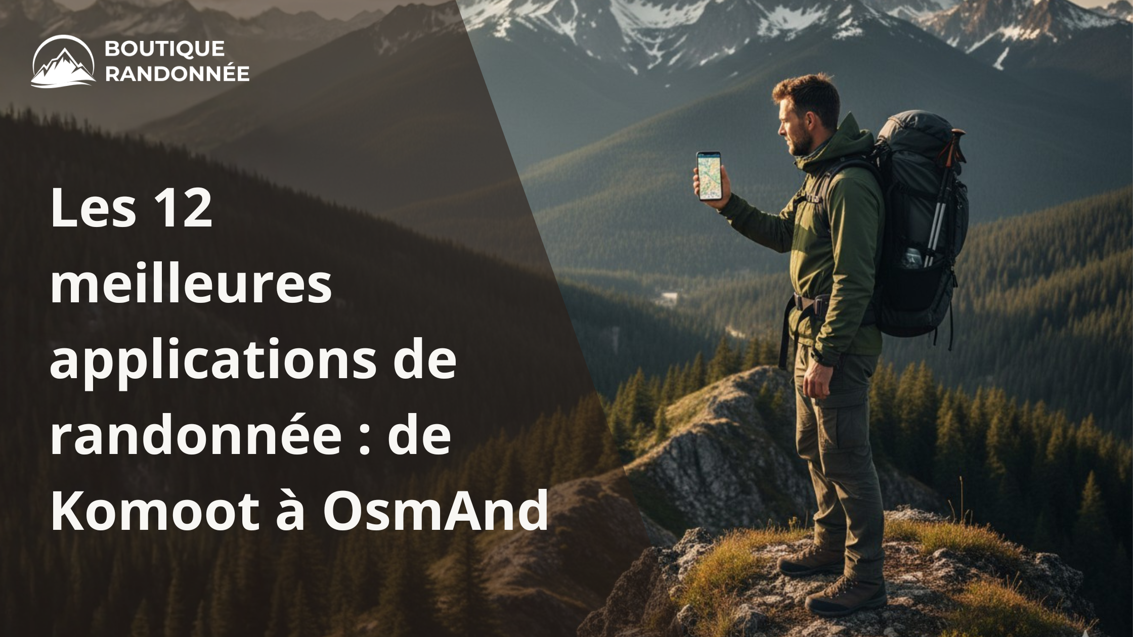
The 12 best hiking apps: from Komoot to OsmAnd
Today, going hiking without an app is a bit like driving without GPS. A hiking app transforms your smartphone into a true navigation tool: routes, track your progress, elevation gain, weather... everything fits in your pocket.
At Boutique Randonnée , we love useful technology, but we also know that it works even better with the right equipment: sports watches and lightweight backpacks .
What is a hiking app?
It's the outdoor equivalent of Waze:
It guides you on the trails, records your outings, helps you plan your routes and discover new itineraries.
Even though digital tools are convenient, always keep a hiking compass or map as a backup.

1. Komoot – The versatile benchmark
Ideal for planning your hikes, bike rides or mountain biking trips.
Filtering by difficulty, distance and terrain type.
Key features:
-
Compatible with smartwatches
-
Voice navigation
-
Creating custom itineraries
Perfect with a GPS hiking watch to track your route without looking at your phone.

2. NodeMapp – The node point specialist
Simple and clear, ideal for adapting your route along the way.
3. Strava – For hikers who love stats
Performance tracking, graphs and social motivation.
4. Maps.me – The king of offline
Downloadable detailed maps, perfect for areas without network coverage.
Essential for trips with your camping equipment .

5. OutdoorActive – Simple Planning
Route planning + practical filters.
6. AllTrails – Wide selection of routes
Numerous filters: family, dogs, difficulty, user reviews.
7. Wikiloc – The hiking community
Thousands of routes shared by other walkers.

8. RouteYou – Full Navigation
Voice navigation + QR code to import routes.
9. OsmAnd – Ultra-comprehensive for experts
Very powerful, with numerous technical functions and offline maps.
10. Garmin Explore – For Garmin users
Perfect for syncing your routes with your hiking GPS.
11. Topo GPS – Detailed topographic maps
Transforms your phone into a true GPS topographic map.
12. Guru Maps – The Offline Explorer
Advanced offline navigation, ideal for remote areas.
Essential tip: think about your battery
GPS applications consume a lot of energy.
For hikes longer than 3 hours, an external hiking battery is essential.

Application or dedicated GPS?
For long hikes or trekking, a hiking GPS or a sports watch with navigation remains more reliable, more robust and more autonomous than a smartphone.
Which app should I choose?
Our experts particularly appreciate Komoot for its simplicity and versatility. But the choice depends on your needs: performance, discovery, offline use, or advanced planning.
Find all the equipment you need to accompany your hiking apps at Boutique Randonnée .